


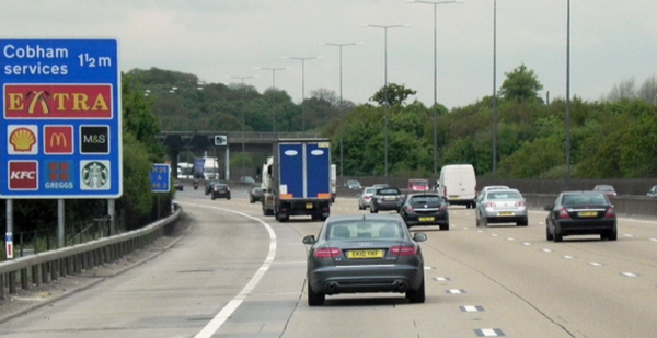
New telematics data has revealed the UK roads where drivers are most likely to trigger dangerous driving alerts; it's not the busy streets of London topping the list.
Analysis by RAM Tracking examined more than 1,500 driving alerts generated by its fleet monitoring technology. The results show that rural A-roads and winding countryside routes pose the biggest risk, with sharp bends and limited visibility leading to frequent harsh braking and cornering events.
The A698 between Kelso and Jedburgh in the Scottish Borders ranked as the UK’s most dangerous road, with an average of 19.25 alerts per vehicle, more than five times the rate recorded in London.
The UK’s 10 most dangerous roads and locations
- A698 – Kelso to Jedburgh (Scottish Borders) – 19.25 alerts per vehicle
- A6 – Darley Dale near Matlock (Derbyshire) – 18.50 alerts
- A907 / M90 corridor – Dunfermline (Fife) – 11.00 alerts
- City centre roads – Edinburgh – 11.00 alerts
- City centre roads – Cardiff – 6.25 alerts
- A12 corridor – Chelmsford (Essex) – 6.00 alerts
- Rural roads – Isle of Man – 5.00 alerts
- A470 – Pontypridd and South Wales Valleys – 4.90 alerts
- A21 / A25 – Sevenoaks (Kent) – 4.67 alerts
- Rural roads – Maidstone (Kent) – 4.50 alerts
Across the study, harsh cornering accounted for 46% of alerts, followed by harsh braking (43%) and harsh acceleration (11%).
Risk is often higher on rural routes than in busy cities, making driver training and telematics insights valuable tools for improving safety.
Similar Stories
England's best and worst roads revealed
New research from Transport Focus, based on more than 9,500 drivers, found 71...

Five practical steps to simplify mixed-energy fleet management
Managing a fleet powered by both internal combustion and electric vehicles do...
Metropolitan Police selects Jaama for long-term fleet management contract
Jaama has secured a fleet management software contract of up to 10 years with...